keyboard_arrow_left
keyboard_arrow_right

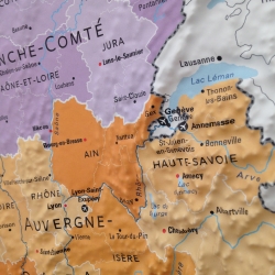
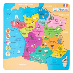
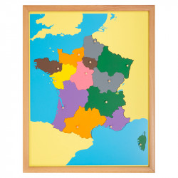
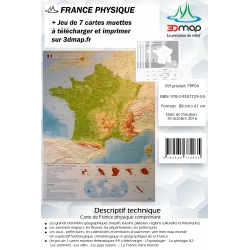
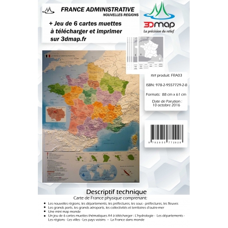
3D map of France.
Dimensions 88cm/61cm
3D map of administrative France.
Dimensions 88cm/61cm
"Creating a map involves several stages.
The 3DMap relief map is the symbiosis between a territory and a theme (e.g. the map of France and its administrative regions).
First, the composition of the map is carried out by a cartographer. The final 3D result can be viewed directly in software to optimise the map background as well as the typographic adjustments.
The map is then printed onto a PVC sheet using UV inks that withstand heat.
An aluminium mould reproducing the relief of the territory in question is machined.
The sheet is then positioned on the frame of a thermoforming machine, then heated to 180° to be vacuum-moulded against the mould.
The map is finally cut by a blade that follows the contour of the map."
Made in France.
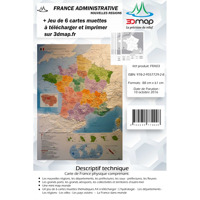
3D map of France.
Dimensions 88cm/61cm