keyboard_arrow_left
keyboard_arrow_right

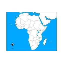
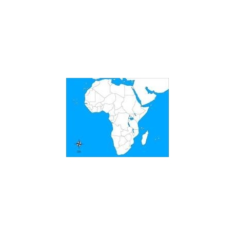
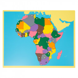
Large-format 57 × 44 cm card map of Africa, white and blue background, blank version for identification exercises and Montessori self-assessment.
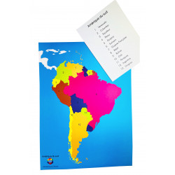
This self-correcting map of Africa (57 × 44 cm) offers a clear, uncluttered representation of the African continent, without names or markers, on a white and blue background. Designed to encourage independent learning according to the Montessori method, it lets the child self-correct and view mistakes as a positive learning tool. Ideal for geography workshops, classroom activities or individual work at home, the map reinforces memorisation of the countries' outlines and develops observation as well as spatial reasoning.
Features
Educational goals
Tips for use
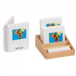
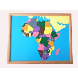
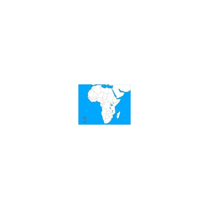
Large-format 57 × 44 cm card map of Africa, white and blue background, blank version for identification exercises and Montessori self-assessment.