Self-correction map — North America (not specified)
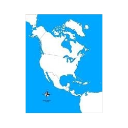
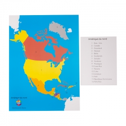
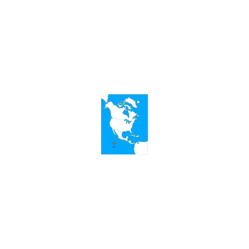
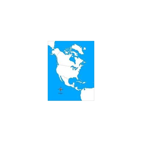
Large-format 57 × 44 cm card map of North America, white and blue background, blank version for identification exercises and Montessori self-assessment.
This self-correcting map of North America (57 × 44 cm) offers a clear, uncluttered representation, without names or markers, on a white and blue background. Designed to encourage independent learning, it lets the child self-correct and view mistakes as a learning tool. Ideal for Montessori workshops, classroom activities or work at home, the map reinforces memorisation of the shapes and positions of the countries while developing observation and spatial reasoning.
Features
Format: 57 × 44 cm
Material: rigid card stock, single-sided print, white and blue background
Blank version: no names, no borders shown
Lightweight and easy to handle or display
Suitable for school and home use
Educational goals
Encourage independence and self-correction in the child
Reinforce recognition of outlines and location of countries
Develop observation, concentration and spatial skills
Turn mistakes into a constructive step in learning
Tips for use
Use after a guided presentation: name and locate the countries, then offer the exercise independently.
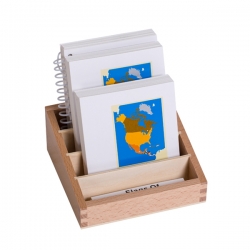
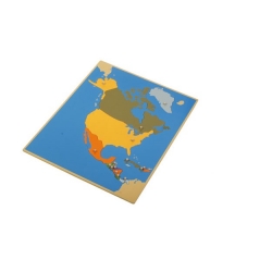
Pair with answer cards, name labels or a geographic puzzle for checking.
Integrate into individual or paired workshops or onto a Montessori tray.
Are you sure that you want to report this comment?
Report sent
Your report has been submitted and will be considered by a moderator.
Your report cannot be sent
Write your review
Review sent
Your comment has been submitted and will be available once approved by a moderator.
Your review cannot be sent
Large-format 57 × 44 cm card map of North America, white and blue background, blank version for identification exercises and Montessori self-assessment.